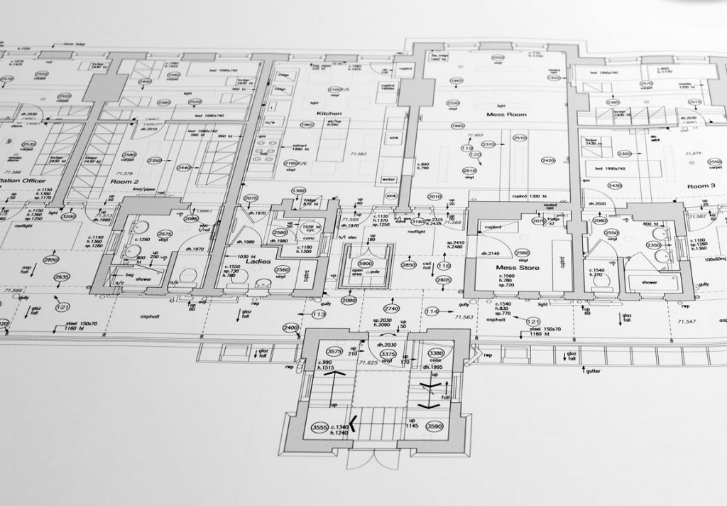
Measured Building Surveys
A measured building survey can provide dimensional information showing accurate detailed floor plans, elevations and sections. This being for redevelopment, refurbishment, space planning, lease plans or archiving.
For all our measured building Surveys we utilise a survey method called 3D Laser Scanning. Our 3D Laser Scanners capture three dimensional measurements from multiple scans which are then unified together in a process called registration. Once processed this “Point Cloud” is used for creating the traditional deliverables; 3D Models, 2D plans, elevations, and sections using specialist CAD software such as Revit or Autocad.
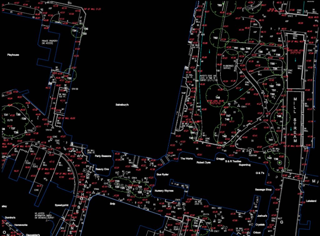
Land/Topographical Surveys
A Topographic Survey can accurately represent details of both the natural and built environment. This information is generally essential to any land assessment and engineering project if it is to succeed. We can provide accurate, detailed information on projects of all sizes, ranging from single dwellings to major city centre redevelopment. Using the latest technology, including Global Positioning Systems (GPS) and robotic total stations, Resect can provide topographical data to output in all major formats and relative to a local coordinated system, existing datum or Ordnance Survey (OS) national grid.
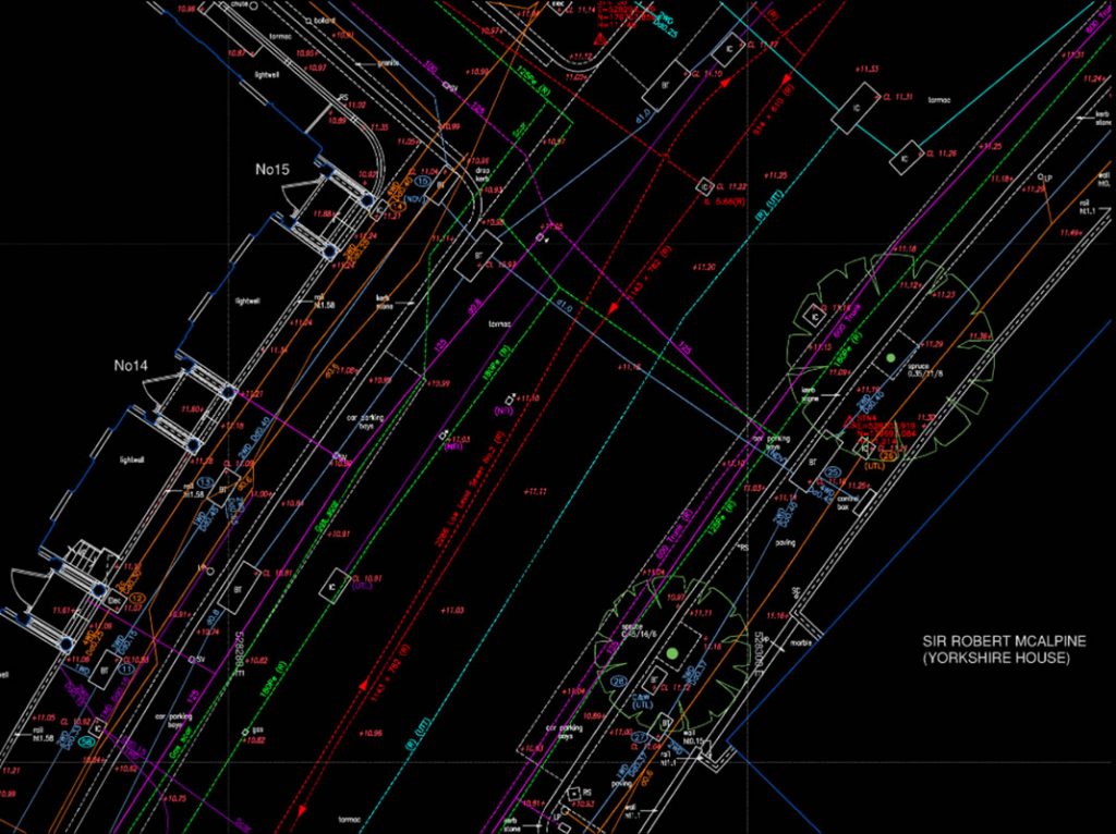
Utility Surveys
Using the latest technology, which involves radiodetection and ground penetrating radar (GPR), we can accurately locate the position and depth of pipes, cables, ducts, drains and sewers.
Utility record searches can be carried out to provide any available record drawings prior to utility surveys, to assist in providing detailed and comprehensive results. Added to the topographic surveys, this provides the client with a comprehensive map of services both above and below ground.
Boundary Disputes
In cases where two or more parties are in dispute over property boundaries, or planning application issues, we can provide a service to complete a detailed measured boundary survey on site. Thus preparing plans to determine the boundary line for H.M. Land Registry, mutual agreement, or if necessary to provide evidence for lawyers for the courts. Once the boundary issue has been resolved a return to the surveyed site can be arranged to peg out the new agreed boundary line, should this be required.
Clients