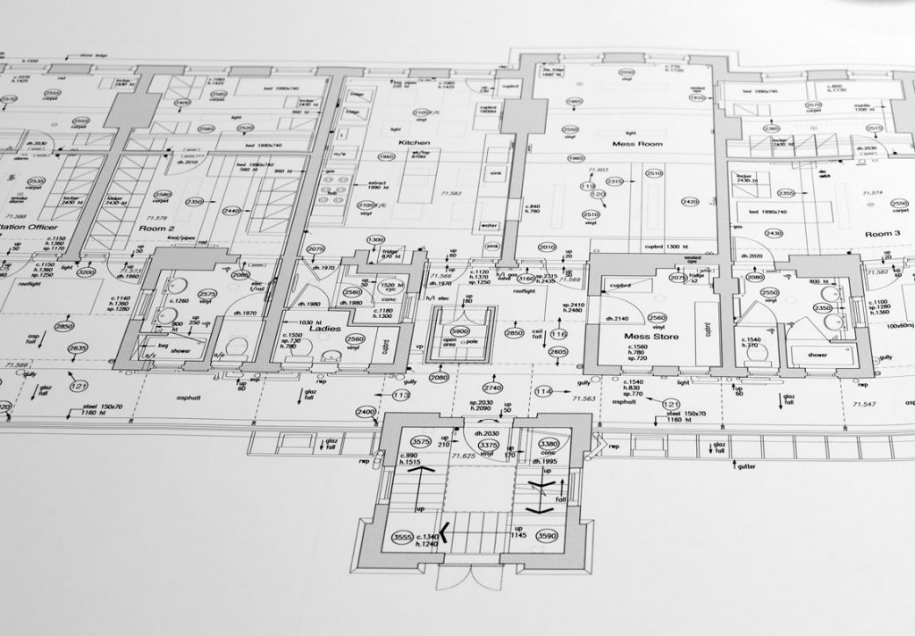
Site Control
Establishment and maintenance of an accurate Primary Control Network are vital on any site to ensure successful dimensional control within that project.
All Setting Out works rely on good Primary Control, whether a small housing project or a major site development the responsibility for establishing and maintaining precise survey control are key. Survey control can be provided throughout project stages, from initial traverse control, gridline establishment and datums to all levels of construction.
We can establish survey control networks to either Ordnance Survey national grid or develop a best fit grid reference to site conditions, this being a local grid.

As- Built Surveys
A working construction or finished structural project seldom corresponds exactly to the original plans in every detail. Unexpected, usually unforeseeable difficulties often make variations from the plans necessary or sometimes may occur accidentally that may be economically unfeasible to correct.
The purpose of an As-Built Survey is to record these variations. This will give the design team the opportunity to amend/update any drawings if they so choose replacing the original areas with that of the as-built survey.
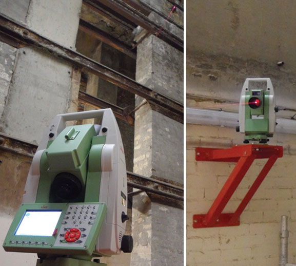
Precise Monitoring
The Monitoring of surrounding buildings or façades for retention or whilst demolition or construction is in progress provides assurance to the contractors on site.
The setting up of monitor points on or around site, where regular measurements and accurate readings can be taken, and regular comparisons can be made. Precise Monitoring surveys are an insurance policy the construction manager cannot do without.

Volumetric Calculations
The value of the earthworks forms a significant part of any of today’s construction work. Therefore, it is imperative to have accurate costing figures before, and even during the construction process.
Using the latest Leica GPS systems to accurately survey any area of land, such quantities as Quarries, Landfill, Spoil heaps etc. creating a 3-dimensional model. AutoCAD based surveying software application can then generate volumes and cut and fill analysis. With returns to site at requested periods and repeating survey works a comparison with previous data can be calculated to show a progression of before and after volumes.
Clients